Request a Quote
Call Now
+9140-35843809
Email
info@accencies.com
Address
Hyderabad
Geospatial Intelligence Experts

Transforming Geospatial Data into Smart Decisions

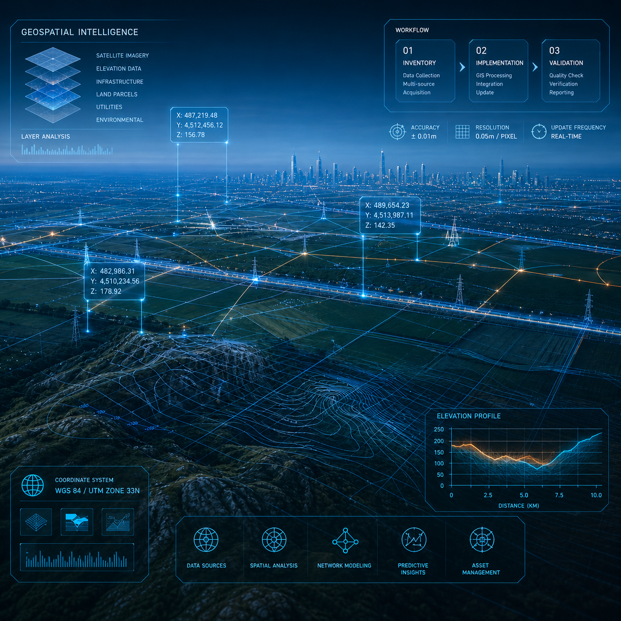
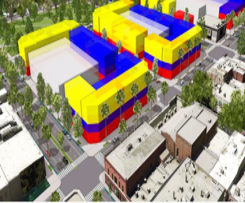
High-precision GIS, LiDAR, Drone Survey, and BIM solutions for infrastructure, utilities, and smart cities. ESRI & PMP-certified professionals with 2–20 years of expertise.

14,000+
Sq Km Feature Extracted
5,000+
Km Powerline Mapped
680
Sq Km 3D Models Delivered

Client Satisfaction

Delivering precision-grade results that consistently exceed client expectations on every project.

Project Planning

Structured workflows with QA processes covering Inventory, Implementation, and Validation.

AI-Driven Automation

AI/ML-based feature extraction and automation for faster, more accurate spatial analysis.

Cost Efficiency

Proven track record of 33% operational savings and 20% reduction in construction costs.

About Us
20+ Years
Team Expertise
About Us

Experience the Future of Geospatial Intelligence

Accencies Technologies Pvt Ltd is a leading geospatial solutions company with a team of ESRI, FME, and PMP-certified professionals. We combine cutting-edge technology with deep domain expertise to deliver high-precision data solutions across infrastructure, utilities, agriculture, and smart cities.

ESRI, FME & PMP-certified geospatial professionals
Strong QA process: Inventory → Implementation → Validation
AI-driven automation for faster, more accurate deliverables
Custom solutions tailored to each client's unique requirements
Learn More → Our Projects
Our Services

Geospatial Services That Exceed Expectations

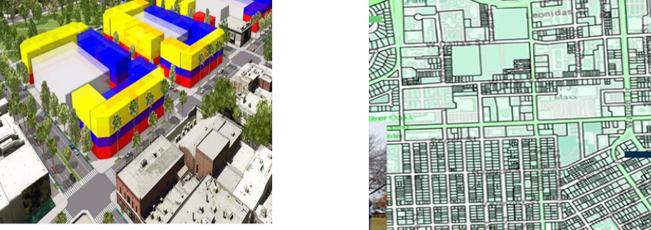
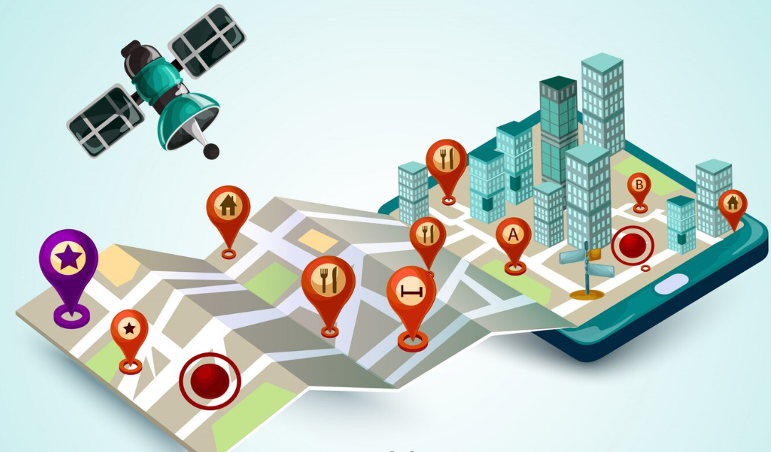
From satellite imagery to BIM and mobile GIS apps — we deliver end-to-end geospatial solutions at every scale.

GIS & Remote Sensing

AI/ML feature extraction, land use mapping, change detection, terrain modeling, and advanced spatial analysis.

Read More →

LiDAR Data Processing

Aerial & terrestrial LiDAR, point cloud classification, DEM/DSM/DTM generation, powerline mapping.

Read More →

BIM Services

CAD to BIM conversion, point cloud to BIM, Architectural modeling, clash detection, and 4D/5D BIM.

Read More →

GIS Application Development

Web & mobile GIS apps using OpenLayers, Leaflet, PostGIS; custom dashboards and spatial analytics.

Read More →
14,000+
Sq Km Feature Extraction
5,000+
Km Powerline LiDAR Mapped
680
Sq Km 3D Modeling Delivered
20%
Construction Cost Reduction
33%
Operational Savings
52%
Reduction in Rework
Why Choose Us

Reliable Geospatial Partner for Every Scale

Our certified experts combine the latest technology with a rigorous QA process to deliver accurate, timely, and cost-effective solutions—every time.

GIS & Remote Sensing95%
LiDAR Data Processing92%
BIM Services88%
GIS Application Development90%

Certified Professionals

ESRI, FME & PMP-certified team with 2–20 years of expertise.

Fast Delivery

Structured workflows ensure on-time delivery without compromising quality.

High Precision

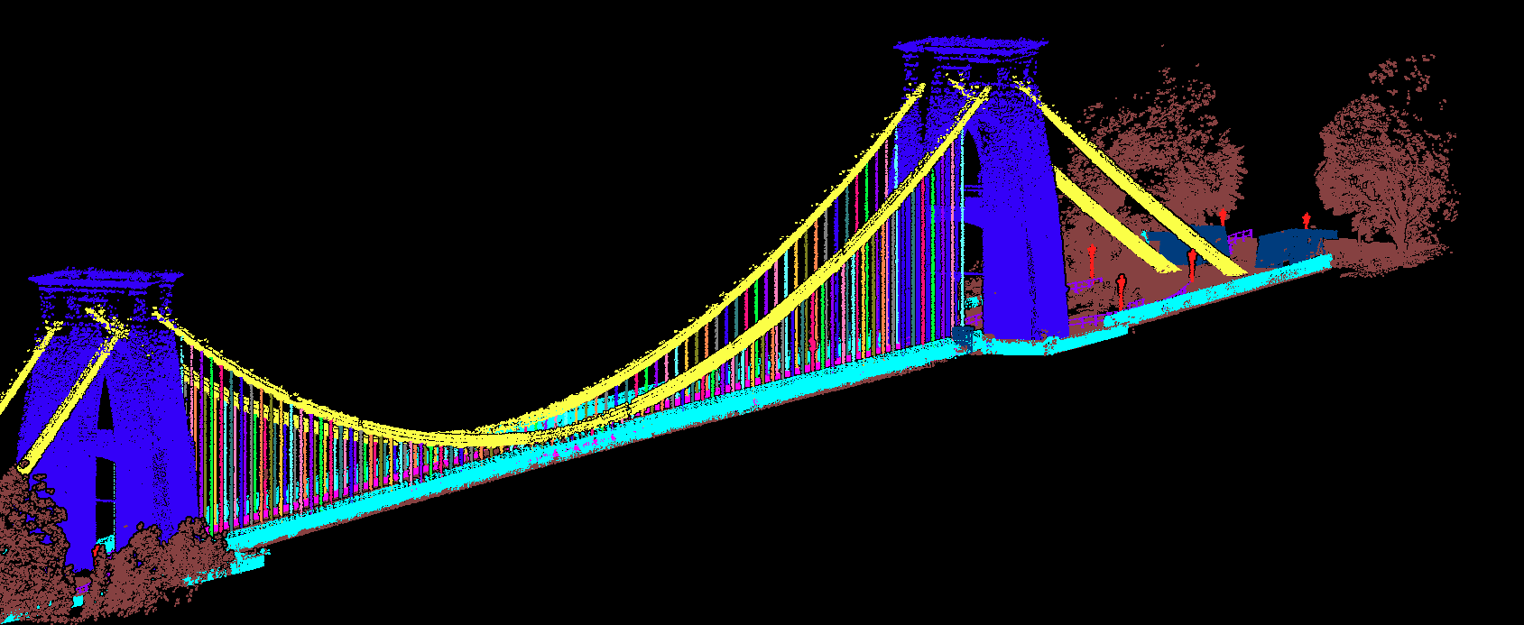
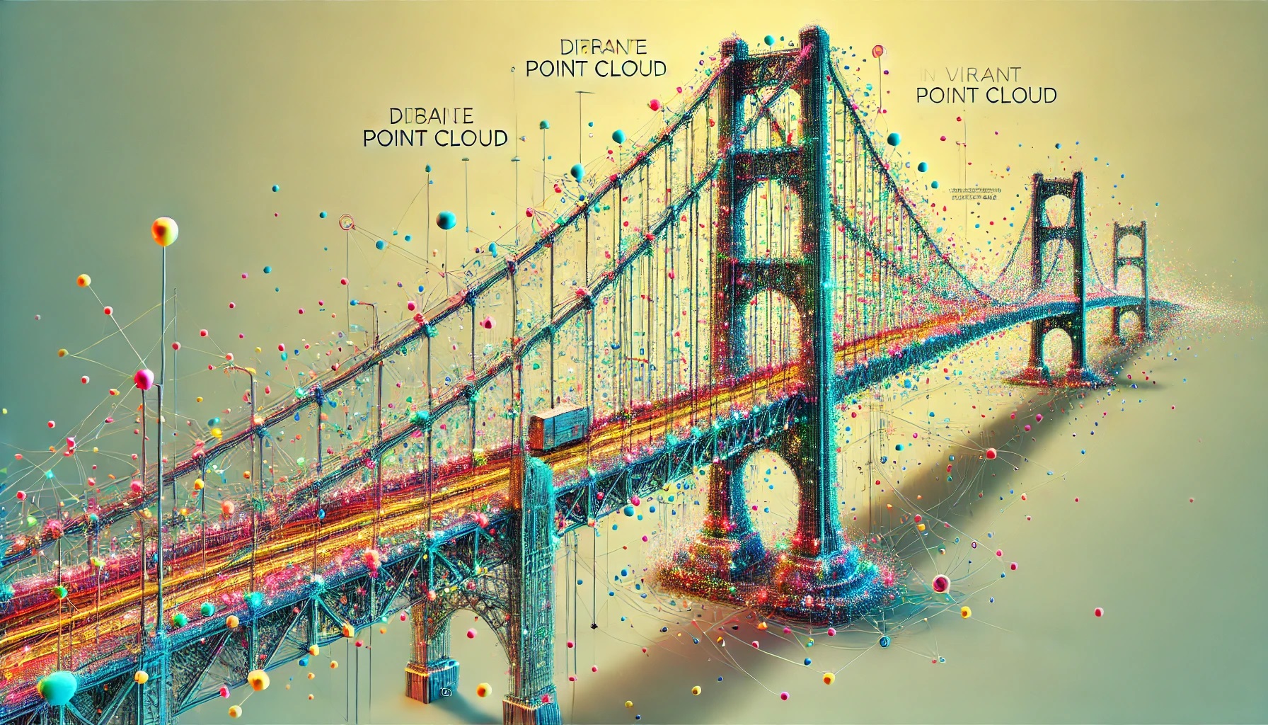
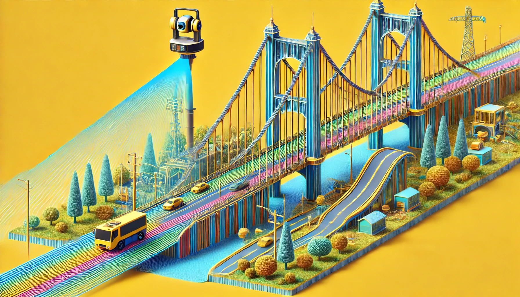
Sub-meter accuracy across LiDAR, DGPS, and drone survey workflows.

Custom Solutions

Every engagement is tailored to client goals, data types, and budgets.

Industries We Serve

Serving Diverse Industries with Precision

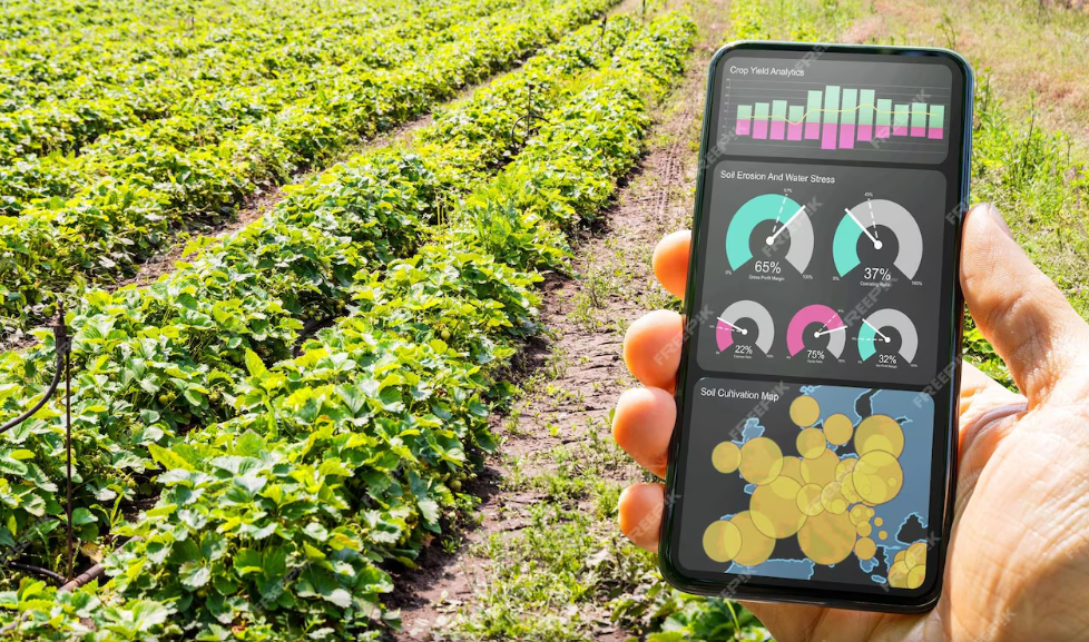
Our geospatial expertise spans across sectors, delivering tailored solutions for every industry's unique data challenges.

Land & Infrastructure

Land & Infrastructure

  • Urban planning & smart cities
  • Utility mapping
  • Infrastructure monitoring
Agriculture & Forestry

Agriculture & Forestry

  • Crop monitoring
  • Forest mapping
  • Fire risk detection
Utilities & Energy

Utilities & Energy

  • Network mapping
  • Asset lifecycle management
  • Outage analysis
Transportation

Transportation

  • Route optimization
  • Traffic analysis
  • Infrastructure monitoring
Oil & Gas

Oil & Gas

  • Pipeline monitoring
  • Site selection
  • Risk assessment
Mining

Mining

  • Mineral mapping
  • Resource estimation
  • Environmental monitoring
Telecom

Telecom

  • Network planning
  • Asset digitization
  • Fault detection
Smart Cities

Smart Cities

  • Urban 3D modeling
  • Infrastructure digitization
  • Spatial dashboards
Technology Stack

Tools & Platforms We Use

ESRI ArcGIS
QGIS
AutoCAD
Bentley
ENVI
OpenLayers
Leaflet.js
GeoServer
PostGIS
FME
Testimonials

What Our Clients Say

"Accencies delivered exceptional LiDAR corridor mapping across 500+ km. Their point cloud accuracy and turnaround time was far beyond what we expected from any vendor."

RK
Rajesh Kumar
Project Director, Utilities Corp

"The GIS web app built by Accencies is exactly what our smart city project needed. Real-time spatial dashboards, mobile integration, and custom analytics — all delivered on time."

SM
Sanya Mehta
Smart City Manager, Municipal Corp

"Our BIM project was completed 3 weeks ahead of schedule with zero rework — a first for us. Accencies' clash detection process alone saved us hundreds of thousands in construction costs."

AP
Anil Prasad
CEO, Infrastructure Pvt Ltd

Ready to Transform Your Geospatial Data?

Work with certified experts in GIS, LiDAR, BIM, and AI-driven analytics. Let's build something precise together.